Mark Griffith
Explorer & Creator
June 12th 2004
Location: Take I-90 to Issaquah, take Front Street exit. Follow Front Street through town, Front will become Hobart-Issaquah Road. Trailhead is at the hang-glider landing area, (map). You can also leave from the trailhead at the Issaquah High School trailhead, (map).
Elevation: Start/End: 2000 foot overall elevation gain.
Length: 4 miles round trip
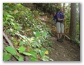
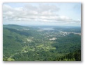
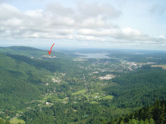
Trail Info: West end of Tiger Mountain. The point got its name from logging signals using a whistle that made a "poo poo" sound. The trailhead from the hang-glider area is the steeper of two routes to Poo Poo point. The trail climbs steeply and steadily all the way to the top. At the point your presented with panoramic views of Squak Mountain, Lake Samammish and Issaquah. There is also a clearing on the back side of the point with an amazing view of Mount Rainier.