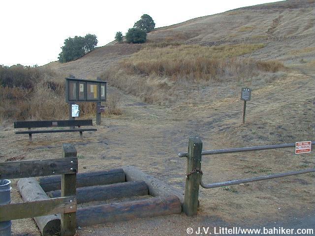
Location: Briones Regional Park, near Lafayette, California
Elevation Start/End: 380 / 285. 2178 foot elevation gain over course of hike.
Length: 8.54 miles one way
Trail Info: Trailhead is at Lafayette Ridge Staging Area, just off Highway 24 Pleasant Hill Road exit. Drive north on Pleasant Hill Road about 1 mile to the second traffic light (Springhill Road), make a u-turn, then drive south on Pleasant Hill Road and take the first right into the parking lot. I chose to make this a through hike ending at Gloria Terrace. The trail follows the Lafayette Ridge to Briones Crest Trail and then to Spengler Trail before connecting to TableTop and finally the Blue Oak trail to Gloria Terrace. Read more about the trail with the pictures below.
Click for Larger Map


